We find
We follow official sources, registers and trusted partners.
Public atlas of projects, people and opportunities
Find out who is active, what is changing and how you can get involved.
Verified records are linked to a location, lead organisation, deadline and original data.

Additional spatial data. They do not change the selected hub or the list of records.
Bioportal · data source ↗The layer can be enabled when the Google map is active.
Areas may overlap. Hover over or focus on an outline for its coverage, precision and source.
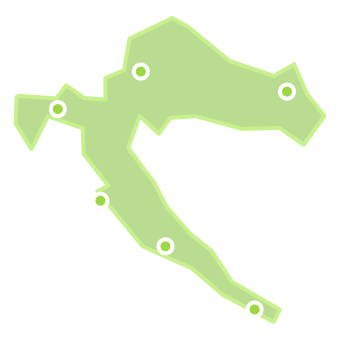
Outlines show the type of coverage, while pin colour indicates the record's topic. Hover and focus reveal the source and level of precision.
Living Atlas
We connect place, lead organisation, impact and a verifiable source. Pins indicate an approximate area, not an address. Select a pin or result for details.
Record details
Open this to see the lead organisation, area of activity, key information and verified source.
Results based on active filters
The search and filters above the map automatically update this catalogue. All records matching the active selection are displayed.
Featured open calls are now on the homepageOfficial sources and public registers
Find competent authorities, public registers, calls and research systems faster. Ekologija.hr provides context, while each piece of information retains a clearly marked route to its source.
15 verified starting points
Source areas
How the Atlas works
We follow official sources, registers and trusted partners.
We check facts and connect them with original data.
We show the actual coverage without inventing precision.
We track deadlines and changes and clearly state the verification date.
How to interpret boundaries: administrative coverage follows official spatial units; geographical and functional regions are informative and do not represent official boundaries. Each hover card states its source and level of precision.
Open platform
Suggest a verifiable record. The editorial team checks the source and location before publication.
Add to the Atlas
Every suggestion undergoes an editorial check of its sources and location before public release.
For the full Atlas view, we can load Google Maps only after your explicit choice.
You can change your choice in the footer. More information is available in the Privacy Policy.