
NEWS AND CONTEXT
New European tools to help cities prepare for heatwaves, droughts and floods
Published 1 November 2026 · Original news: 27 October 2026

From a map of climate hazards to examples of cooler street design: three new European tools can help cities and municipalities turn climate preparedness into practical action. We looked at what each offers, how to get started and what data still needs to be collected locally.
Three tools for three stages of preparation
On 27 October 2026, the European Commission presented a new climate resilience framework, together with three digital tools for public authorities, businesses and communities. In official announcement brings together a better understanding of hazards, finding suitable tools and learning from adaptation already carried out. The package includes a legislative proposal; presenting the package does not mean that the proposed law has already entered into force.
For local authorities, a useful sequence is to start by exploring the climate conditions expected, then find a tool for a specific assessment or planning task, and finally examine possible solutions. European Climate Viewer, Navigator of Climate Resilience Tools and Mission Solutions Explorer address these different needs. Together, they can help prepare discussions between spatial planners, municipal services, experts and residents.
European Climate Viewer: select a hazard and explore the map
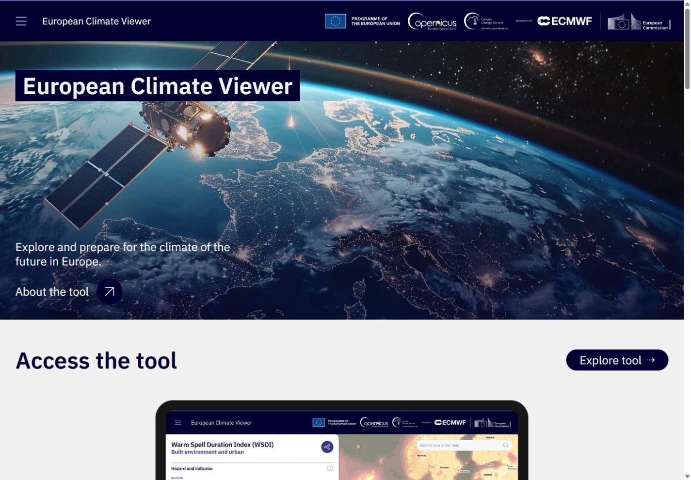
Open European Climate Viewer and select a climate hazard, such as a heatwave, drought or heavy rainfall. Then set the level of global warming and the sector you are interested in. The sectors include urban and built environments, health, transport and water management; selecting a sector is optional. After the initial settings, open the map and select a location for a more detailed view, as described in official guide.
The opening menu distinguishes between the reference climate for 1991–2020 and global warming levels of 1.5, 2 and 3 °C, linked to the horizons 2030, 2050 and 2100 in line with the framework’s reference pathway. These settings are for exploring climate conditions. For your working notes, record the hazard, warming level and location selected so that you can compare the same settings later.
According to the description of the development of Viewer, additional data on the exposure and vulnerability of people and assets will only be added gradually. For this reason, climate hazard maps should be considered alongside local data on people, buildings and infrastructure. For example, a heavy rainfall map alone does not tell you how deep floodwater will be on a particular street.
Navigator: find a tool suited to the task
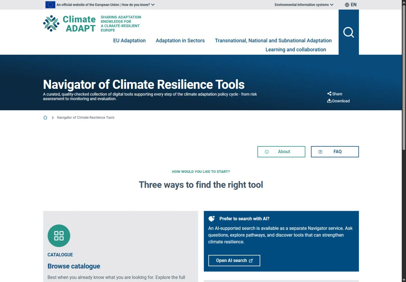
Navigator of Climate Resilience Tools brings together existing interactive tools. On the home page, you can open the catalogue, work through guided questions or use a separate search tool powered by artificial intelligence. If you already know what you need to do, start with tool catalogue and narrow down the selection by sector, hazard and geographical scope. For beginners, Guide me is a practical route: it asks questions step by step and narrows down the results.
In the details for your chosen tool, check its purpose, required input data, outputs and spatial resolution. The comparison function helps you assess how demanding the tool is to use and the adaptation steps it supports. Official FAQ states that the tools included are freely available, although some require free registration. Recommendations from the AI assistant should be checked in the catalogue itself, as they may be incomplete or inaccurate.
The EEA developed the catalogue with expert review and in collaboration with the Eionet network. It covers various stages, from risk assessment to the implementation and monitoring of measures. It is a good starting point for shortlisting tools, but their suitability for a particular Croatian city still needs to be assessed in light of the available data and the task at hand. The EEA explains the catalogue approach.
Mission Solutions Explorer: explore solutions from other places
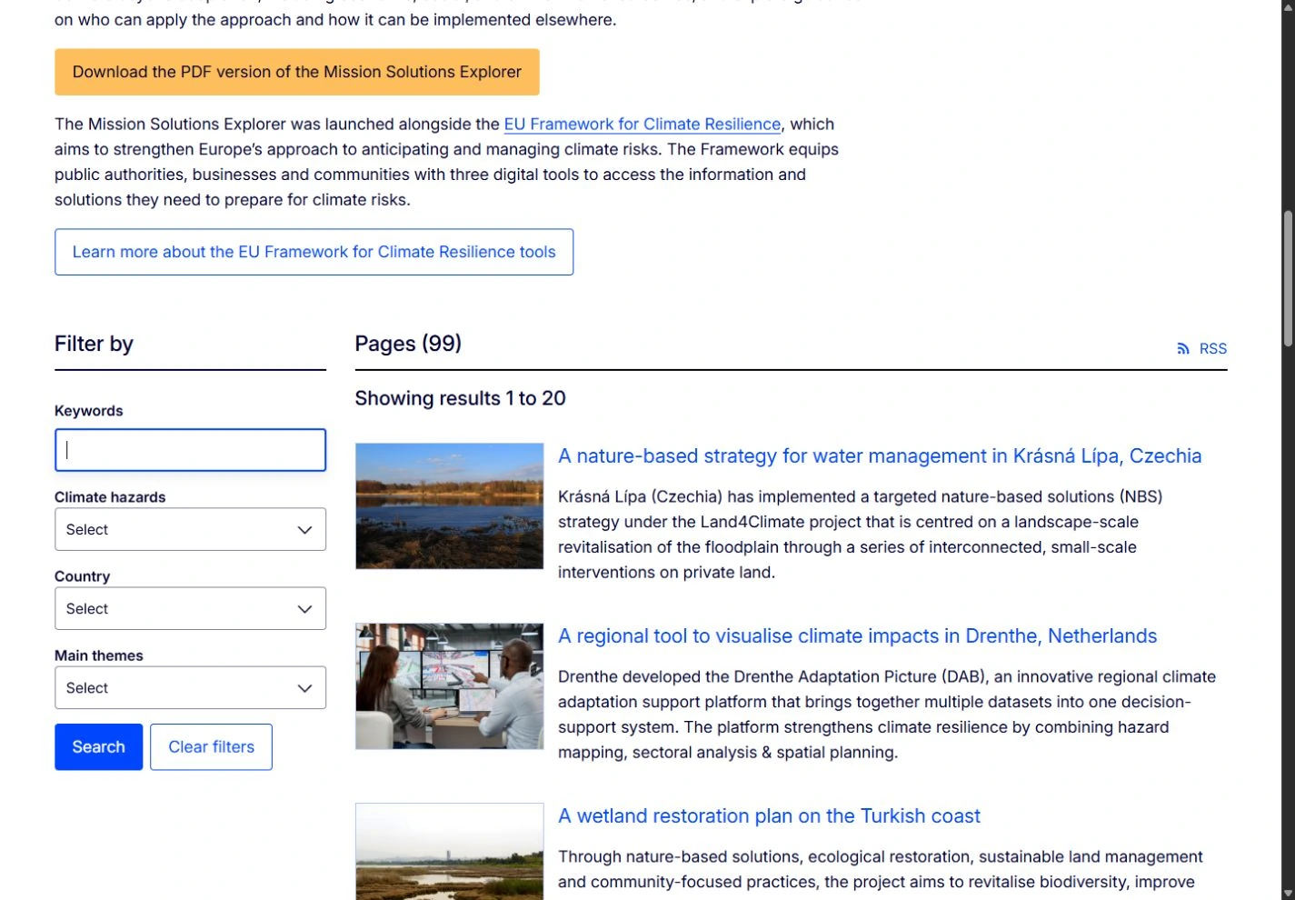
Mission Solutions Explorer It provides examples of adaptation from European regions, cities and communities. The search offers keywords and filters by climate hazard, country and main topic. Open an example relevant to your problem and explore its benefits for the community, participants, implementation conditions and potential for use elsewhere.
Examples include cooled public spaces in Antwerp. The description links the identification of areas under heat stress with shaded places to rest, greener streets and cooperation between the city and residents. This record can serve as a template for questions: where is shade most needed, who uses the space, who takes part in planning, and who will maintain the greenery?
The Mission portal emphasises that implementation should be adapted to local circumstances. So, alongside an attractive photograph or idea, also explore financial circumstances, stakeholders involved and the potential to replicate the approach. A solution from another city is useful as a learning experience, provided you check whether it suits your own area and needs.
How to turn this into a local action plan
For a first attempt, we suggest choosing one clearly defined problem, such as summer heat around a school. Use the Viewer to explore the relevant hazard, the Navigator to find a tool for an appropriate assessment, and the Explorer to look at comparable examples. Then write a short note: what you have learnt, which local data is missing, who you could collect it with, and which measure you would like to consider further.
Take account of the state of the area, users’ needs, costs and future maintenance when making a decision. This approach helps turn browsing online tools into a concrete next task, such as a site visit or the preparation of an expert assessment. Related content on Ekologija.hr is grouped under the topics Climate and Resilience, Urban Ecosystems, and Water and the Sea.
Verified sources and further reading
Original editorial content based on the primary sources listed. Links lead to the original publication or documentation.
- European Commission: introduction to the framework and three tools
27.10.2026. - European Climate Viewer: the application and initial settings
Accessed 1.11.2026. - European Climate Viewer: user guide
Accessed 1.11.2026. - European Climate Viewer: development and coverage
Accessed 1.11.2026. - Navigator: access to the catalogue and guided search
Accessed 1.11.2026. - Navigator: official FAQ, comparison and limitations
Accessed 1.11.2026. - EEA: checking the tools and Navigator’s intended use
27.10.2026. - Mission Solutions Explorer: filters and examples
Accessed 1.11.2026. - EU Mission Portal: adapting solutions to local circumstances
27.10.2026. - Mission Solutions Explorer: Antwerp’s Cool Spots
Accessed 1.11.2026.
The cover illustration was created with the help of artificial intelligence. The application images are actual screenshots of their official pages.