Asphalt, concrete, dark surfaces, a lack of vegetation and poor airflow can increase heat stress. Yet differences do not occur only between cities and their surroundings: they are often apparent between neighbouring streets, courtyards and city blocks.
Key points
- A heat island is not a single citywide figure; exposure changes at street and block level.
- Preserved mature canopies and well-designed new planting form part of a broader system of shade, water and soil.
- Success is measured by actual cooling, access to shade and long-term vitality — not just the number of saplings.
Heat is a spatial problem
Built surfaces absorb solar energy and release it after sunset, while a lack of vegetation and water reduces cooling through shade and evapotranspiration. The effect depends on street geometry, materials, wind, humidity, tree canopies and how the space is used.
It is important to distinguish surface temperature from air temperature and human heat stress. A satellite map may show overheated roofs and asphalt, but it cannot alone tell us how comfortable a pedestrian feels in the shade, what happens at night or who is most exposed. Different types of data must therefore be read together.
Map first, intervention next
A good decision starts by connecting heat data with people and the function of a space. The priority need not be the hottest point on the map, but a place where high temperatures coincide with high exposure and limited capacity to adapt.
Multiple measurement layers and a comparable baseline before intervention.
Existing shade, gaps in the network and walking routes people actually use.
Permeability, soil volume, rainwater and sustainable irrigation.
Schools, kindergartens, hospitals, care homes, transport stops and groups at greater health risk.
Planting alone is not enough
A more resilient neighbourhood usually requires a combination of measures: preserving existing healthy canopy, planting new trees with sufficient root space, using diverse species suited to the location, permeable surfaces, rainwater management, shading structures, lighter materials and, where appropriate, green roofs and façades.
A tree without sufficient soil and water may not develop the canopy needed to provide shade. A green space without a maintenance plan may lose its function precisely during a drought. Blue-green infrastructure works best when it forms part of urban, transport, water and health planning, rather than decoration added after a project is completed.
From tree counts to impact
- changes in canopy cover and actual shaded area;
- air and surface temperatures before and after the intervention;
- tree survival, vitality and canopy development;
- soil permeability, rainwater retention and water consumption;
- the availability of cool routes and spaces during the hottest part of the day;
- distribution of benefits among neighbourhoods and population groups;
- maintenance costs and quality over several years.
Why is long-term monitoring increasingly important?
European nature restoration policy includes monitoring urban green spaces and tree canopy cover. This shifts the focus from one-off actions to comparable baseline data, preservation of function and long-term progress. Sound local planning therefore requires showing where canopy has been lost or gained and whether residents genuinely have access to cooler public spaces.
What does Arbora bring to this topic?
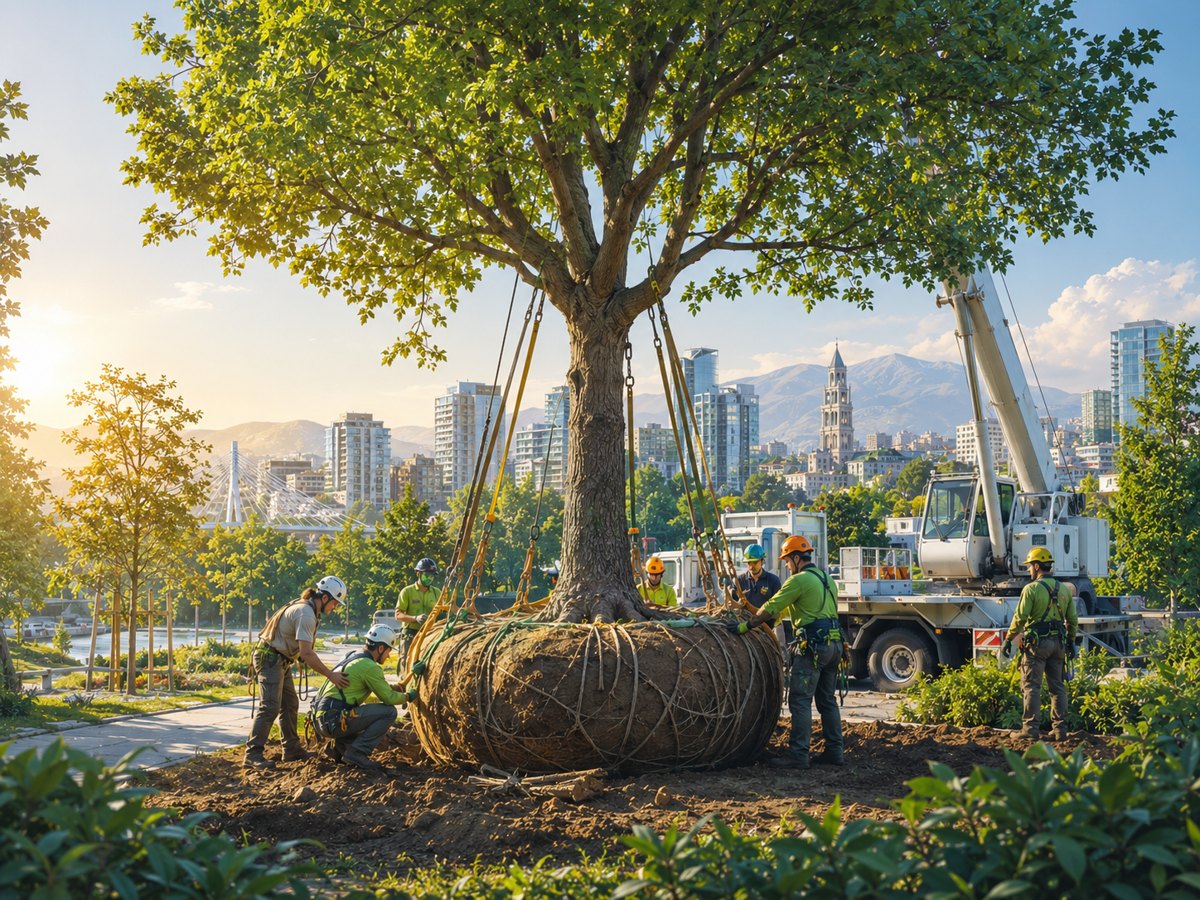
As the topic's initiator, Arbora views a tree as long-term infrastructure: from assessing the existing tree stock and preserving valuable trees, through soil, planting or relocation, to irrigation and monitoring over several years. This operational perspective can help shape measurable pilots, but it does not replace urban planning, climate, health or social assessments.
The topic was initiated by Arbora, which works in urban greenery and tree care. Ekologija.hr independently selects sources, checks claims and decides on publication. Any project or information from the initiator will be labelled accordingly.
Resilience is visible on the street
The best plan is not the one with the most green symbols, but the one that creates more shade, healthier soil, accessible water and trees capable of developing a canopy in the most exposed places. Measurement must begin before the intervention and continue long enough to show its real impact — including differences between neighbourhoods.